Sleeper700
Active VIP Member
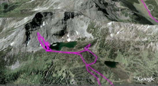
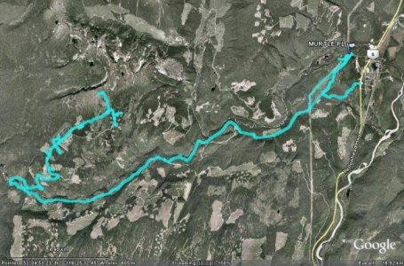
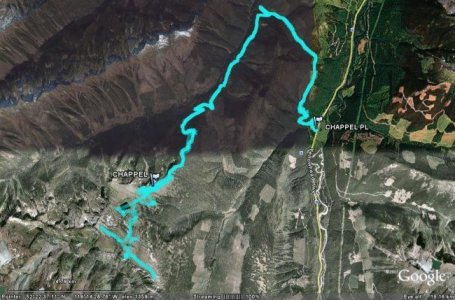
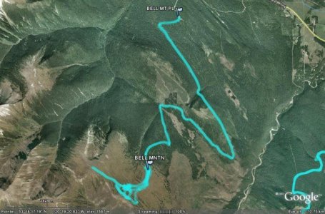
If anyone is interested in having tracks from their gps put on Google Earth and saved as a picture for yourself or everyone, PM me and I can make the images. Here are some examples (Murtle Coulies - Blue River, Chappel Creek - Valemount, and Bell Mountain - McBride):

 Great idea!
")