
You are using an out of date browser. It may not display this or other websites correctly.
You should upgrade or use an alternative browser.
You should upgrade or use an alternative browser.
Topographical maps
- Thread starter lilduke
- Start date

Lund
Active VIP Member
Where can I find some large, good quality, color Topographical maps of the Revelstoke area?
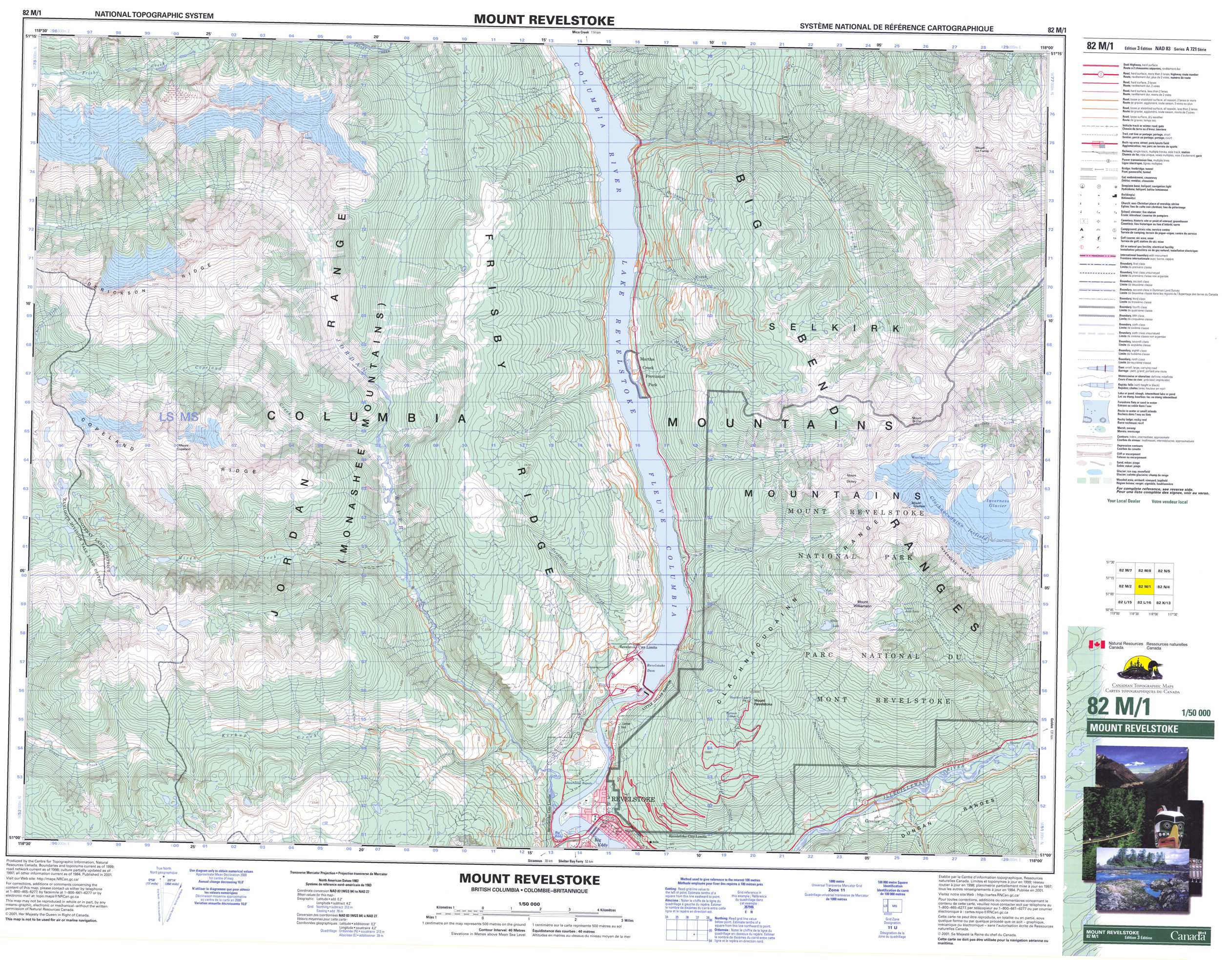
http://www.canmaps.com/topomaps/nts50/25s-50q/082m01_1_1.jpg
In the last few year's i have been getting them from them, the ITMB Publishing Ltd.
Regional Distribution Centres | Natural Resources Canada
If your planning on using them with a compass as a backup 1:250,000 scale is best, the 1:125,000 scale is good also.
You will require a few map's to do a large area for best detail's. If that make's any sense to you.
Last edited:
pfi572
Active VIP Member
Map Town Calgary will help you out.
http://www.maptown.com/
http://www.maptown.com/
- Thread starter
- #4
In the last few year's i have been getting them from them, the ITMB Publishing Ltd.
Regional Distribution Centres | Natural Resources Canada
Cool thanks, I'll contact them. I'm looking for some nice big maps that are laminated or that I can laminate and put up on a wall.
oler1234
Active VIP Member
Have that exact map in the house right now... As pfi said map town in Calgary.
- Thread starter
- #6
Have that exact map in the house right now... As pfi said map town in Calgary.
Awesome! Thanks, next time I'm in Calgary I'll have to stop in there

Unless someone knows a place in Revelstoke that has them?? Wishful thinking maybe haha
bigfish
Active VIP Member
you could check with the goverment agent in town,they used to carry them but i know they have been getting out of them over the last bunch of years.
Service BC - Revelstoke
Service BC - Revelstoke
- Thread starter
- #8
you could check with the goverment agent in town,they used to carry them but i know they have been getting out of them over the last bunch of years.
Service BC - Revelstoke
Worth a try. Thanks
pfi572
Active VIP Member
Saving tracks on GPS and then loading onto Google Earth helps out also if you don't have the soft wear on GPS. If you use iPhone they have a cheap app "topo Canada" that you can down load areas of choice.
- Thread starter
- #10
Saving tracks on GPS and then loading onto Google Earth helps out also if you don't have the soft wear on GPS. If you use iPhone they have a cheap app "topo Canada" that you can down load areas of choice.
Thanks, but I am looking for large paper maps that I can hang on the wall
kimrick
RIP Fellow Sledder
Dan,
Go down to the foresty office at the Big EGGY! LOL.
Talk really nice to the ladies and they should be able to help you.
Go down to the foresty office at the Big EGGY! LOL.
Talk really nice to the ladies and they should be able to help you.
X-Treme
Active VIP Member
- Joined
- Sep 27, 2014
- Messages
- 2,832
- Reaction score
- 4,141
- Location
- Strathcona County
- Website
- www.robinsautomotive.ca
Thanks, but I am looking for large paper maps that I can hang on the wall
You can't just nail your GPS to the wall?
- Thread starter
- #13
Dan,
Go down to the foresty office at the Big EGGY! LOL.
Talk really nice to the ladies and they should be able to help you.
Cool, Thanks Rick!
pfi572
Active VIP Member
Thanks, but I am looking for large paper maps that I can hang on the wall
Yes it's nice to have a big map to check out .
- Thread starter
- #16
Valhalla Pure Outfitters in downtown Revy typically has a good selection of Topomaps. The bookstore as well.
Awesome!
Skegmeister
Active VIP Member
You know what would be really cool... a 3D printer of the topo maps for your favorite areas.
Check this out!
3D Printing Topographic Maps Using Lidar | MAKE
Check this out!
3D Printing Topographic Maps Using Lidar | MAKE
Ministik Man
Active VIP Member
Fastest and cheapest way is MapTown in Calgary
Buy the most detailed areas you ride in the "LAMINATED" version
Great for on the wall of the trailer to discuss where you are going today
but a 24" x 24" or 30" x 30" is to bulky in your pack
-Problem is on the hill no one but you remembers the map at the trailer..
- (We look at 30 x 30 but everyone carries an 8x11" printed - below)
Are you running a Garmin GPS?
Are you using - MapSource or Basecamp as your computer upload/download software to your GPS?
Do you keep all your tracks/waypoints for the different riding areas and staging areas in a file directory?
Have some fun the fast, simple and cheap way:
Pick an area and drop your tracks and waypoints on this areas map.
Reword the waypoints/tracks to make simple sense and SHOW the parking/Staging area and CABIN are locate (Especially if in an emergency).
You might have to check the tracks on the left column to "Show on map" in MapSource
Save this map as "MASTER-the AREA" - then you just keep adding tracks and waypoints to it.
Print all maps at the same scale size
Then place them on a large table and use a little scotch tape to hold together and to the table and then use packing tape and cover all the maps. If done slowly there are very little lines from the tape.
-- I have made many maps this way - even a 36"x36" with 6- 8.5x11mini area maps for each rider
-- very easy to do - can save maps for a mini library where you ride...
-- its cheap - every one knows where they are
-- Not sure or a new area you want to ride in -- make a map with a grid pattern - rows and columns dropping waypoints evenly across then down. Mark open meadows/ponds/lakes you want to FIND with a special named Waypoint. Save the GPS file, upload to your GPS's, print the map, laminate - hand out to your rider group. Most people can find and related to a waypoint on the GPS and associate it with their location on their map. (Must remember if you have all the knowledge and brains of where you are and you get hurt - who is going to get YOU out, and when).
The harder way and more expensive way:
Drop all your tracks and waypoints onto an area.
Printout the map as before.
Scan the map to a JPG file
Open a Photo program
Align the JPG photos and save to a file
Take file to Staples and they can print 24" high by as wide as you need
But again - Great in a trailer not good in a backpack
Last edited:
- Thread starter
- #19
Fastest and cheapest way is MapTown in Calgary
Buy the most detailed areas you ride in the "LAMINATED" version
Great for on the wall of the trailer to discuss where you are going today
but a 24" x 24" or 30" x 30" is to bulky in your pack
-Problem is on the hill no one but you remembers the map at the trailer..
- (We look at 30 x 30 but everyone carries an 8x11" printed - below)
Are you running a Garmin GPS?
Are you using - MapSource or Basecamp as your computer upload/download software to your GPS?
Do you keep all your tracks/waypoints for the different riding areas and staging areas in a file directory?
Have some fun the fast, simple and cheap way:
Pick an area and drop your tracks and waypoints on this areas map.
Reword the waypoints/tracks to make simple sense and SHOW the parking/Staging area and CABIN are locate (Especially if in an emergency).
You might have to check the tracks on the left column to "Show on map" in MapSource
Save this map as "MASTER-the AREA" - then you just keep adding tracks and waypoints to it.
Print all maps at the same scale size
Then place them on a large table and use a little scotch tape to hold together and to the table and then use packing tape and cover all the maps. If done slowly there are very little lines from the tape.
-- I have made many maps this way - even a 36"x36" with 6- 8.5x11mini area maps for each rider
-- very easy to do - can save maps for a mini library where you ride...
-- its cheap - every one knows where they are
-- Not sure or a new area you want to ride in -- make a map with a grid pattern - rows and columns dropping waypoints evenly across then down. Mark open meadows/ponds/lakes you want to FIND with a special named Waypoint. Save the GPS file, upload to your GPS's, print the map, laminate - hand out to your rider group. Most people can find and related to a waypoint on the GPS and associate it with their location on their map. (Must remember if you have all the knowledge and brains of where you are and you get hurt - who is going to get YOU out, and when).
The harder way and more expensive way:
Drop all your tracks and waypoints onto an area.
Printout the map as before.
Scan the map to a JPG file
Open a Photo program
Align the JPG photos and save to a file
Take file to Staples and they can print 24" high by as wide as you need
But again - Great in a trailer not good in a backpack
I have GPS, Google Earth and have access to Topo Maps of any where I want Online. I spend my whole winters exploring the back country.
I want this as a Decoration mainly.(some people have paintings on the wall. I want a giant Topo map of Revelstoke)
Cheers Dan
X-it
Active VIP Member
I have etopo from map town but it you want free here it is.
Similar threads

- Replies
- 2
- Views
- 433
