kokanee 800
Active VIP Member
Can I get the GPS coordinates from someone for the Cabin on Boulder and Turbo Hill (revy) Thanks.


")
They are bass ackwards. Proper format will be printed on our new map.
You read your newsletter yet? See that the lake in the 2nd bowl is open again at Caribou Basin. You have your GPS waypoints from that trip and experience?
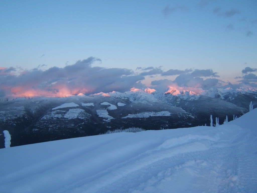
Hey were we same place, same time taking pics.?
Sent a PM..What is a good brand/type of gps to use for all season riding(quads/Snowmobiles).
Im currently looking into one as I want to explore new areas without getting lost.
Ideal GPS:
-Make Checkpoints as I ride, and can save them for future rides.
-Checkpoint the Truck, or Cabin.
What is a good brand/type of gps to use for all season riding(quads/Snowmobiles).
Im currently looking into one as I want to explore new areas without getting lost.
Ideal GPS:
-Make Checkpoints as I ride, and can save them for future rides.
-Checkpoint the Truck, or Cabin.
Cabin: N51.00993 W118.32410
Bottom of turbo: N50.99767 W118.45200
Turbo Summit: N50.99121 W118.45322
Not sure what format those coordinates on the boulder map those are in; they are a little confusing. The above coordinates are off my GPS.
