Caper11
Active VIP Member
Doug,
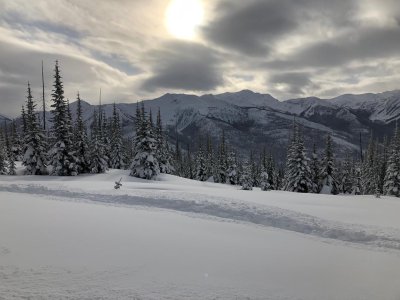
good point. Unfortunately that closure your speaking of starts at the cabin area and follows the ridge along the beaten path for 20+km. Far to difficult to properly sign in my opinion. There are extremely detailed KML/GPX files of the allan creek/clemina creek/chappel creek boundaries that one can load into their handheld and even google earth in their phones. I bet the Polaris with the onboard GPS could even load the file. I think thats the direction everyone needs to go as its far more effective with the way technology is progressing aswell as save a pile of money on signage.
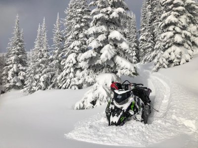
Actually we had found out that the PIDD gauge on the polaris does show the closures, at least it sure does look like it anyway.
I was trying to figure out where the closure line was at the bottom right of hillclimb. My buddy brought the map up on his PIDD GPS and where we parked our sleds looked like it was the edge of the closure. It showed it like a “park boundary”. With the tracking of his gauge it showed we did not once travel into the shaded areas of the GPS map. Im familar with alot of the closure areas in allen and the shaded parts of the map sure did look like the closures.
Skidoo needs to step up to this century and offer a gauge like polaris.
I didnt not know there is downloadable files for the closures. Where can I find them????