River trip up the athabaska

POWDERCHOWDER

Active VIP Member
Joined
Dec 4, 2006
Messages
609
Reaction score
107
Location
EDMONTON
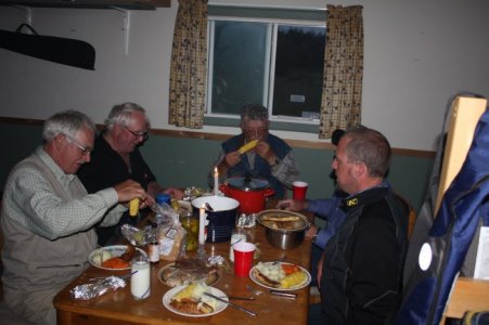
We just got home from trip up to the richardson river, talk about a good time.
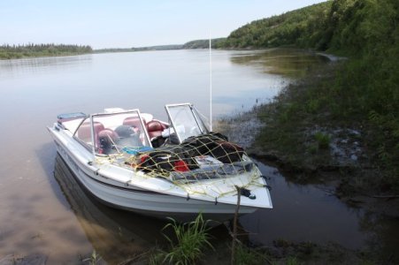
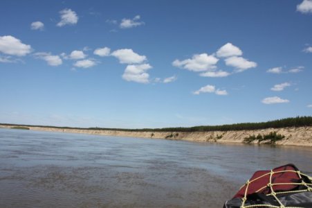
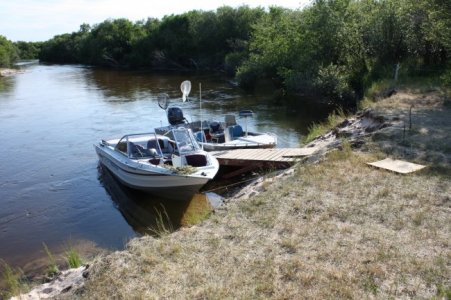
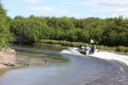
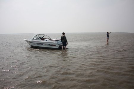
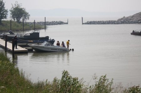
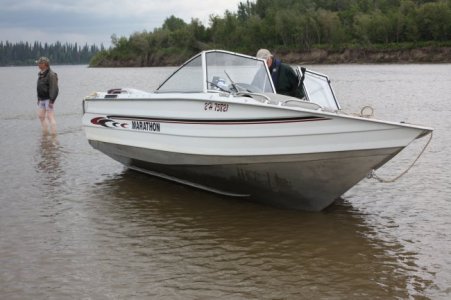
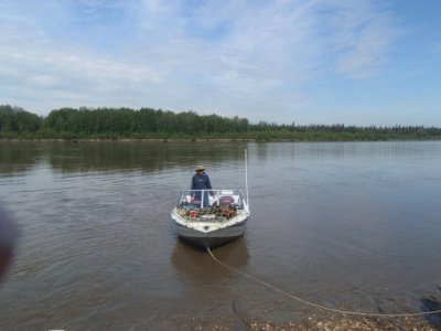
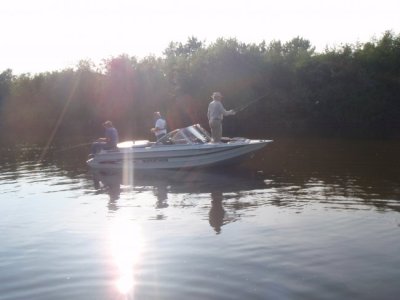
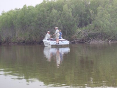
It's been almost 10 years since i was there last, and that country still blows me away. we put the boats in at the barg landing just outside fort mckay then boat 140miles up the atha B to the richardson river. one of the days we boated into fort chip for fuel, geting thru the delta was a little tricky as nothing is marked anymore. all in all a sweet trip i am going to post pic just bare with me.
 

Attachments

  • IMG_2613.jpg
    IMG_2613.jpg
    52.3 KB · Views: 52
  • IMG_2623.jpg
    IMG_2623.jpg
    38.7 KB · Views: 49
  • IMG_2628.jpg
    IMG_2628.jpg
    87 KB · Views: 59
  • IMG_2627.jpg
    IMG_2627.jpg
    70.6 KB · Views: 44
  • IMG_2648.jpg
    IMG_2648.jpg
    38.3 KB · Views: 51
  • IMG_2663.jpg
    IMG_2663.jpg
    55 KB · Views: 44
  • IMG_2651.jpg
    IMG_2651.jpg
    53.4 KB · Views: 58

POWDERCHOWDER

Active VIP Member
Joined
Dec 4, 2006
Messages
609
Reaction score
107
Location
EDMONTON
some more
 

Attachments

  • IMG_2669.jpg
    IMG_2669.jpg
    57.1 KB · Views: 53
  • P6220059.jpg
    P6220059.jpg
    44.5 KB · Views: 47
  • P6240072.jpg
    P6240072.jpg
    38.6 KB · Views: 58
  • P6240080.jpg
    P6240080.jpg
    67 KB · Views: 55
  • P6260093.jpg
    P6260093.jpg
    53 KB · Views: 49

magnet

Active VIP Member
Joined
Apr 29, 2008
Messages
5,364
Reaction score
1,391
Location
GSBA
some nice wallies there mmmmmmmmmmmmmmmmmm. nice pics.
 

POWDERCHOWDER

Active VIP Member
Joined
Dec 4, 2006
Messages
609
Reaction score
107
Location
EDMONTON
well i lead on the way up there running off old nav charts that barges used when they ran up the river. we had no prob so my old man followed me while charting in his boat with gps. on the way back he was leading so i could just sit back and follow him with no worries. WELL he did something and deleted his chart on the gps and decided to read off the old nav charts. and took the wrong channel. he was driving the flat bottom boat, so he draws way less water then me, so he skipped the sand bar and the pic shows what happened to us. I was doing about 30 mph and stopped in about 20-30 feet, i lead after that. guess thats what it's all about tho.
 

SLEDBUNNYRACING

Bad Bunny
Administrator
Moderator
Joined
Oct 20, 2006
Messages
39,540
Reaction score
14,738
Location
Edmonton Alberta, Canada
Website
www.sledbunnyracing.com
well i lead on the way up there running off old nav charts that barges used when they ran up the river. we had no prob so my old man followed me while charting in his boat with gps. on the way back he was leading so i could just sit back and follow him with no worries. WELL he did something and deleted his chart on the gps and decided to read off the old nav charts. and took the wrong channel. he was driving the flat bottom boat, so he draws way less water then me, so he skipped the sand bar and the pic shows what happened to us. I was doing about 30 mph and stopped in about 20-30 feet, i lead after that. guess thats what it's all about tho.

Great story - thanks.
 
Top Bottom