not sure what he uses but i just use my iphone lol... motion X Gps is the app...
blow a gps right outta the universe... Lol it's a google earth map n u can use a whole bunch of different map styles and it plots where u r at all times.
Only thing is it's better if u have the app going when in cell phone range so the maps load up. I have found so many riding areas n trails because of this app that a regular gps never would have showed me...
u can measure distances too on the map t get an idea ahead of time how far the trail is too...
The difference between this mapmprogram n others for the iphone is that they use the new style google esrch which is garbage around here for navigating.. It's detailed in the towns n cities but in the bush the motion x gps is better because u can use the old style google earth apps and it shows the land all in colour instead of half black n white half colour etc... Plus has topo and marine maps etc etc...
not sure what he uses but i just use my iphone lol... motion X Gps is the app...
blow a gps right outta the universe... Lol it's a google earth map n u can use a whole bunch of different map styles and it plots where u r at all times.
Only thing is it's better if u have the app going when in cell phone range so the maps load up. I have found so many riding areas n trails because of this app that a regular gps never would have showed me...
u can measure distances too on the map t get an idea ahead of time how far the trail is too...
ya that sucks.
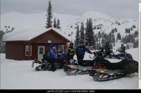
I just found some new trails i always thought were in a provincial park but they are not... If you switch the map on this program to the "road map" it actually shows the bounderies and is deadly accurate... We were sledding last year and got close to Wilmore wilderness Park and the map showed we were right on top of the boundary.... We fired up the machines n headed over the hill n the sign was right there... Lol pretty cool.