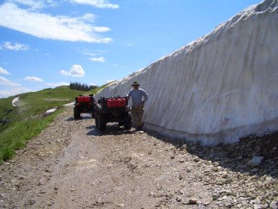
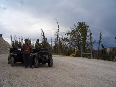
I don’t see any rid’in trip reports here for the U.S. state of Utah … so I’ll go ahead & post a report on my most current trip which I took from 27 Jul thru 02 Aug 08.
However, I've been waiting for my riding partner to send me some of the pic's he took on this trip ... but alas ... total disappointment ! So, I'm gonna go ahead & get the thread started.
I will say ... I do not have those "Special" ones, one always wants to take while riding, but never stops & executes the picture taking task while moving down an awesome trail ! .... But I hope you enjoy what I post.
The Arapeen (Air-a-peen) OHV trail system in broken down to a North area & a South area. I rode the Southern trails. One drives to a small town named "Gunnison" on Hwy 89 ... at the high school (which is on Hwy 89) one make a turn going East, towards "Them Thar Hills" ... you follow the road around going by an Elk Ranch (my partner has those pic’s) ... until you enter an even smaller town named "Mayfield". Continue East out of Mayfield up "12 Mile Canyon Rd". We drove up that road 18 miles to the "Gunnison Flat Camp Ground". 12 Mile Canyon Rd connects to the "Great Western Trail" (GWT) which is also called the "Skyline Trail" in some areas. At some points while on this road we were at 10,900 ft.
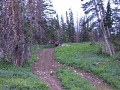
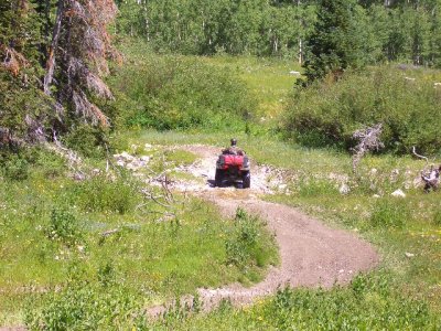
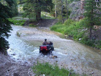
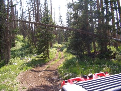
We rode five days, putting 212 miles on the ATV's with an average speed of 8.8 mph. That should tell you, there was some very technical trails. On the GWT & some others, we rode at 20 to 35 mph or more, which tells you again ... to only average 8.8mph for the entire trip we drove pretty darn slow most the time.
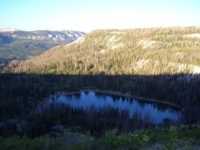
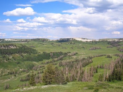
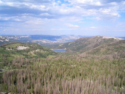
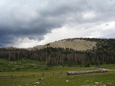
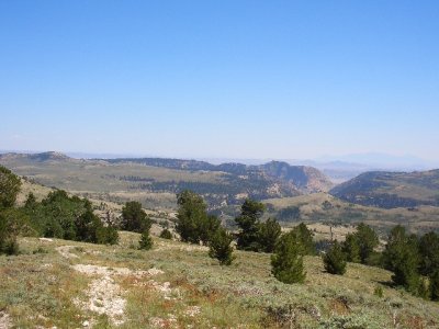
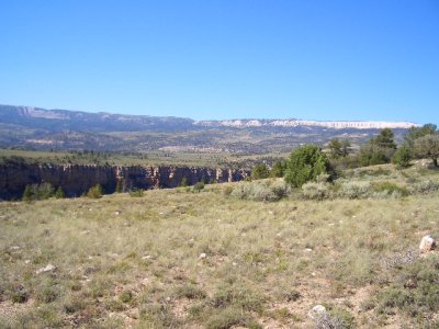
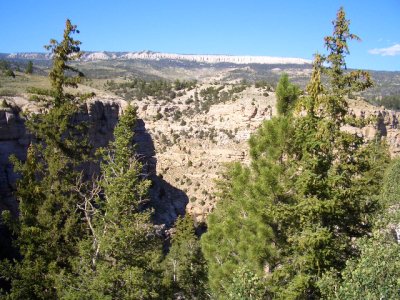
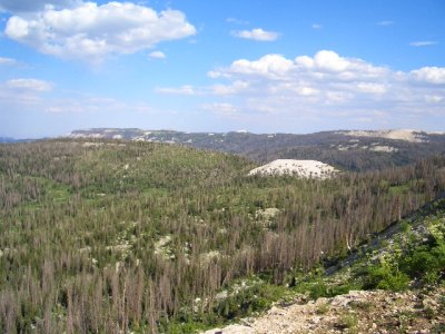
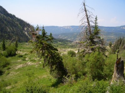
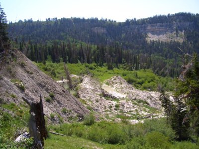
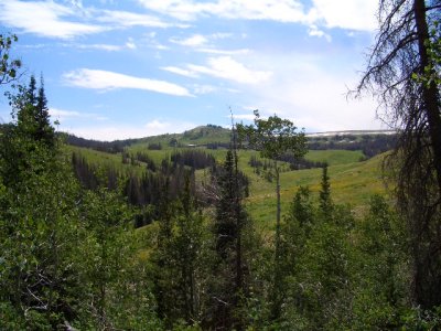
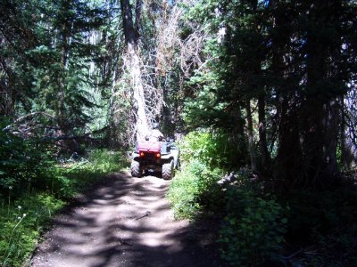
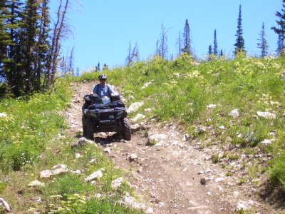
As mentioned, we rode at a high elevation of 10,900 ft & as low as 6,400 ft ... from windblown ridges ... to dark forest trails ... to sagebrush flat with deep canyon gorges .... What a blast !!!
We saw Elk, deer, grouse, dove, ducks, & rock chucks (we don't count squirrels & chipmunks ... and one caught a ride home to my house ... someplace on the truck. The little bast&A% !) ... we got rained on the first nite, the third nite & the last nite. So the weather was perfect & the roads not to dusty !
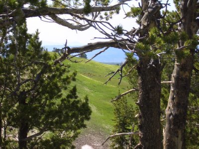
OK, enough chat .... view some of the pic's I took .... there will be several post as I want to share as many pic's as I can with everyone ...Enjoy ...
Later ...
Attachments
-
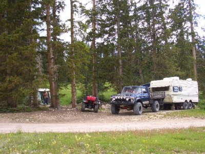 Camp Look'in South West.JPG184.8 KB · Views: 252
 -
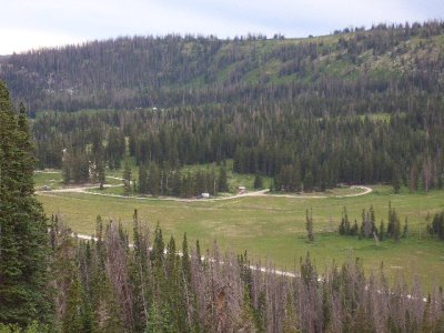 Look'in at Camp From Above Zoomed In.JPG182.2 KB · Views: 265
 -
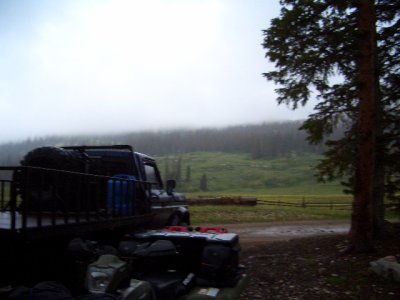 27 Jul at Camp - Cold Rain.JPG176.6 KB · Views: 264
 -
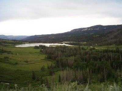 Above Ferron Res Look'in South.JPG175.8 KB · Views: 253
 -
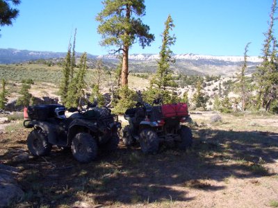 At Muddy Creek Gorge.JPG181.2 KB · Views: 256
 -
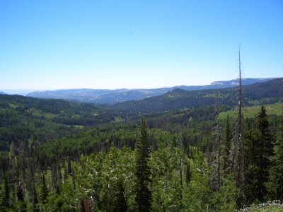 Big Country 3.JPG176 KB · Views: 255
 -
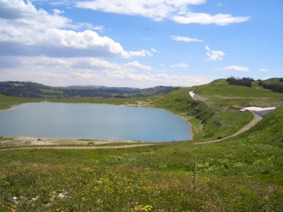
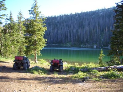 Blue Lake.JPG183.9 KB · Views: 250


